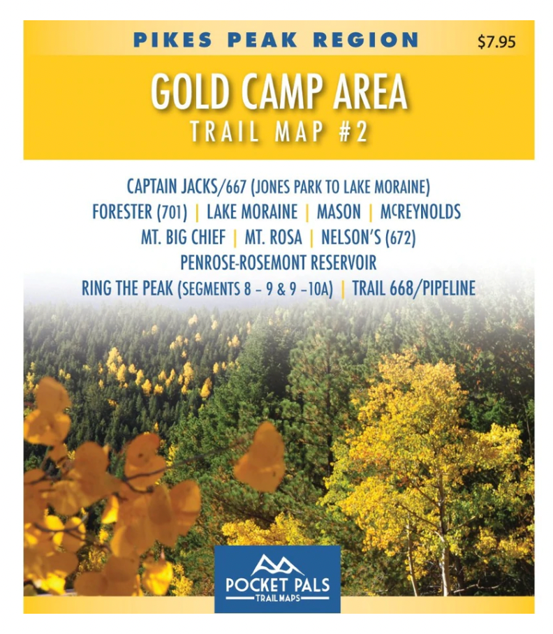
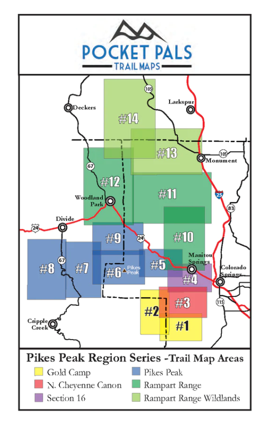
The trails on this map are located southwest of Colorado Springs, Colorado. All of the trails on this map are located in the Pike National Forest in Teller County with a portion of some trails crossing over into El Paso County.
The trails included on Map #2 in Gold Camp Area are listed below. For more information on these trails click on the trail names.
- Captain Jack's (667) - Jones Park to Lake Moraine
- Forester (Trail 701)
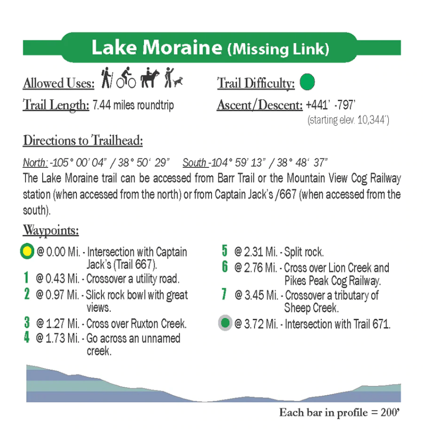
- Lake Moraine (aka Missing Link)
- Mason Reservoir
- McReynolds Reservoir
- Mt. Big Chief
- Mt. Rosa
- Nelson's (672)
- Penrose-Rosemont Reservoir
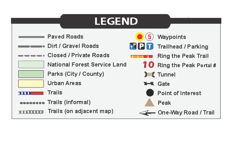
- Ring the Peak (Elk Park to Frosty's)
- Ring the Peak (Frosty's to Bear Creek)
- Ring the Peak (668)
A portion of every sale supports local trails, park, open space and conservation/restoration non-profits.